


GNSS-Based Survey Set to Settle Bangladesh’s Highest Peak Puzzle


Keokradong was once widely regarded as the highest mountain peak in the country. Later, peaks such as Saka Haphong 1–2, Jowthlang, Jogihafong, Aitlang, and Tahjingdong 1–2 were also claimed to hold that distinction. This longstanding debate is now set to be resolved through scientific methods.
To bring the controversy to an end, the Bangladesh Survey Department has officially begun measuring the country’s highest mountain peak. Using modern geodetic methods and advanced Global Navigation Satellite System (GNSS) technology, a comprehensive survey is being conducted in accordance with international standards to determine the height above mean sea level (MSL) of the highest peak.
So far, measurements of 10 high peaks, including Keokradong, Saka Haphong, and Jotlang, have been completed. The survey began on April 4 in the high hilly areas along the Thanchi and Ruma border regions and is scheduled to conclude on the 12th.
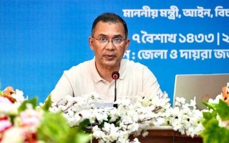
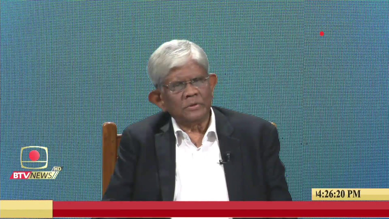
Following the completion of the survey, data will be analyzed to determine the final result. After completing the official procedures, the name of the country’s highest mountain peak is expected to be formally announced in the first week of May, said Brigadier General Noor-e-Alam Mohammad Zobayer Sarwar, Director General of the Bangladesh Survey Department.
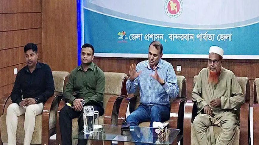
He made these remarks to journalists at the Bandarban Circuit House on Friday night, April 10.
Also present at the briefing were Abdul Rob Howlader, Director of the Land Records and Survey Department; team leader Debashish Sarkar; Major Touhid; Md. Bashir Uddin; and journalists working in the district.
At the press conference, Brigadier General Noor-e-Alam Mohammad Zobayer Sarwar said, “For the first time, we have officially started measuring the country’s highest mountain peak. The survey work began on April 4 in the high hilly areas along the Thanchi and Ruma border regions. So far, measurements of 10 high peaks, including Keokradong, Saka Haphong, and Jotlang, have been completed. Our team is actively working, and I personally visited the site today. The survey will be completed by the 12th. After that, we will analyze the data, finalize the results, complete the official procedures, and make the announcement.”
He added, “This is a very challenging task. There are difficulties related to transportation, communication, and accommodation in the hilly areas. Despite these adverse conditions, the survey work is ongoing. Members of the Army and BGB are providing us with full support. Without their cooperation, this would not have been so manageable.”
Notably, this is the first-ever official survey to measure mountain peaks in Bangladesh. No such initiative had been undertaken before. The survey is expected to determine definitively which peak is the highest in the country. Although an initiative was taken in 2022 to conduct such measurements, it was not carried out. Currently, Tajingdong in Ruma Upazila is often mentioned as the highest peak, but this claim is not based on any official survey by a government agency.
DBTech/SM/MUIM/OR